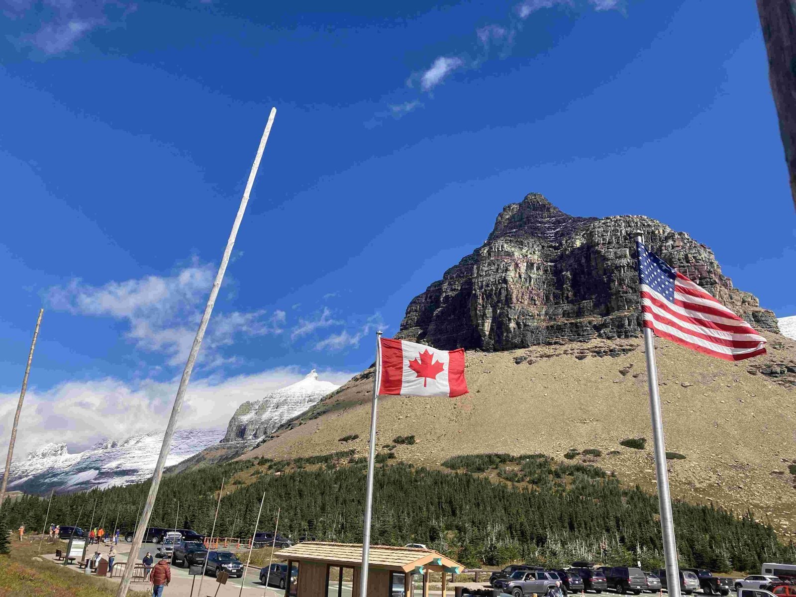
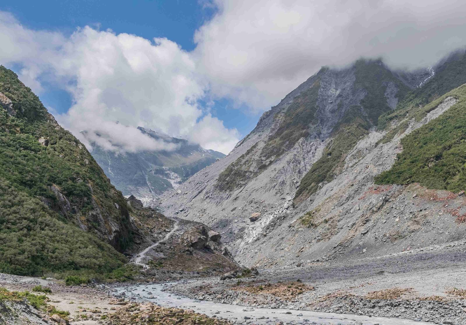
The Glacier National Park raster geology data layer provides crucial insights into the park’s geological composition and structure. This digital resource combines vector data with raster analysis techniques to offer a comprehensive view of the park’s diverse geological features. From ancient rock formations to recent glacial activity, the data layer serves as an invaluable tool for researchers, park managers, and geology enthusiasts.
What is the Glacier National Park Raster Geology Data Layer?

The Glacier National Park raster geology data layer is a digital representation of the park’s geological features, primarily derived from vector data but often analyzed and visualized using raster techniques. This data layer includes information on:
- Rock types and formations
- Geological age of different areas
- Fault lines and structural features
- Glacial deposits and features
The data is typically sourced from the National Park Service (NPS) and the U.S. Geological Survey (USGS), based on detailed geological mapping efforts.
How is the Data Structured and Formatted?

The geological data for Glacier National Park is available in various formats:
- Geopackage (GPKG)
- File geodatabase (GDB)
- Google Earth (KML/KMZ)
While the primary data is in vector format, it can be converted to raster format or used in conjunction with raster analysis techniques for various applications.
What Information Does the Data Layer Provide?
The Glacier National Park raster geology data layer offers a wealth of information:
- Rock Types: Identification and distribution of igneous, sedimentary, and metamorphic rocks
- Geological Age: Classification of rock formations based on their age
- Structural Features: Mapping of faults, folds, and other geological structures
- Glacial Features: Information on glacial deposits, moraines, and other ice-related formations
This comprehensive dataset allows for in-depth analysis of the park’s geological history and current composition.
How Can Researchers Access and Utilize This Data?
Accessing and utilizing the Glacier National Park raster geology data layer involves several steps:
- Data Acquisition:
- Download from official NPS or USGS data portals
-
Request access through research permit applications
-
Software Requirements:
- GIS software (e.g., ArcGIS, QGIS)
-
Remote sensing software (e.g., ENVI, ERDAS Imagine)
-
Analysis Techniques:
- Spatial analysis
- Overlay operations
- 3D modeling
-
Image classification (for associated remote sensing data)
-
Visualization Methods:
- Thematic mapping
- 3D terrain modeling
- Time-series analysis for change detection
What Are the Key Applications of This Data Layer?
The Glacier National Park raster geology data layer has numerous applications:
- Scientific Research:
- Studying geological processes and history
-
Analyzing glacial retreat and climate change impacts
-
Resource Management:
- Identifying potential mineral resources
-
Assessing geological hazards (e.g., landslides, earthquakes)
-
Education and Outreach:
- Creating educational materials about the park’s geology
-
Developing interactive geological maps for visitors
-
Conservation Planning:
- Informing habitat protection strategies
- Guiding infrastructure development within the park
What Challenges Exist in Working with This Data Layer?
Working with the Glacier National Park raster geology data layer presents several challenges:
- Data Integration: Combining vector and raster data formats
- Scale and Resolution: Balancing detail with computational requirements
- Temporal Changes: Updating the data to reflect ongoing geological processes
- Accessibility: Navigating permit requirements and physical access to remote areas
- Interpretation: Requiring specialized geological knowledge for accurate analysis
How Does Remote Sensing Enhance the Raster Geology Data Layer?
Remote sensing techniques significantly enhance the Glacier National Park raster geology data layer:
- Satellite Imagery: Provides up-to-date visual data on surface features
- LiDAR: Offers high-resolution elevation data for detailed terrain analysis
- Hyperspectral Imaging: Enables identification of specific mineral compositions
- Thermal Imaging: Helps in detecting geothermal activity and rock type variations
These technologies allow for continuous monitoring and updating of geological information, complementing the base raster geology data layer.
What Future Developments Are Expected for This Data Layer?
The future of the Glacier National Park raster geology data layer looks promising:
- Higher Resolution Data: Incorporation of more detailed geological mapping
- Real-time Updates: Integration with sensors for live geological monitoring
- AI and Machine Learning: Advanced analysis techniques for pattern recognition
- Virtual Reality Integration: Immersive 3D visualizations of geological features
- Citizen Science Contributions: Incorporation of field observations from park visitors
These advancements will continue to improve our understanding and management of Glacier National Park’s unique geological landscape.