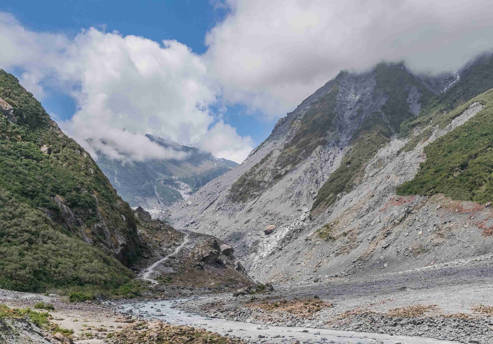
GPS files for Glacier National Park are essential tools for hikers and explorers navigating this vast wilderness. These digital resources provide accurate coordinates, trail information, and points of interest, enhancing safety and enrichment during park visits. From downloadable maps to mobile apps, GPS technology offers invaluable support for both casual visitors and seasoned adventurers in Glacier National Park.
Where Can I Find Reliable GPS Files for Glacier National Park?

Reliable GPS files for Glacier National Park are available from several trusted sources:
- National Park Service (NPS) Website
- Offers official park maps in GPS-compatible formats
- Includes Brochure Map and interactive Park Tiles
- Available in PDF, GeoPDF, and GIS-compatible formats
-
High accuracy, maintained by NPS
-
Hike 734 – Glacier Map Guides
- Detailed topographic maps with GPS-compatible data
- Created by Jake Bramante, known for comprehensive trail information
- Available in physical form, data can be used for GPS tracks
-
Highly praised for accuracy and user-friendliness
-
Gaia GPS Platform
- Allows downloading of offline maps for Glacier National Park
- Includes detailed topographic data
- Supports GPX, KML, and other standard GPS file formats
- Frequent updates ensure high accuracy
What Are the Key GPS Waypoints in Glacier National Park?

While a comprehensive list of GPS waypoints isn’t provided in the sources, here are some key attractions with general location information:
- Going-to-the-Sun Road
- Start: West Glacier (48.5033° N, 113.9773° W)
- End: St. Mary (48.7403° N, 113.4373° W)
-
Notable features: Logan Pass, Bird Woman Falls, Jackson Glacier Overlook
-
Grinnell Glacier Trail
- Trailhead: 48.7633° N, 113.7267° W
-
Features: Grinnell Glacier, Grinnell Lake
-
Highline Trail
- Trailhead at Logan Pass: 48.6944° N, 113.7183° W
- Features: Bird Woman Falls, Granite Park Chalet
For precise coordinates and detailed descriptions, it’s recommended to use resources like the NPS website or Hike 734’s guides.
How Can I Use GPS for Navigation in Glacier National Park?
GPS navigation in Glacier National Park can enhance both hiking and driving experiences. Here are some recommended routes:
Hiking Routes
- Grinnell Glacier Trail
- Distance: 10.6 miles round trip
- Estimated time: 5-7 hours
- Challenges: Steep incline, potential bear encounters
-
Accessibility: High elevation, may require acclimatization
-
Highline Trail
- Distance: 7.6 miles one way
- Estimated time: 4-6 hours
- Challenges: Narrow trail with steep drop-offs, potential bear encounters
- Accessibility: High elevation, may require acclimatization
Driving Routes
- Going-to-the-Sun Road
- Distance: Approximately 50 miles
- Estimated time: 2-3 hours without stops
- Challenges: Narrow road, potential traffic congestion
- Accessibility: Seasonal closures, vehicle length restrictions
Which GPS Apps Are Recommended for Glacier National Park?
For navigating Glacier National Park, two highly recommended GPS apps stand out:
- Gaia GPS
- Features:
- Offline maps
- GPX file support
- Route planning
- Weather forecasts
- Offline capabilities: Yes, maps can be downloaded
- User interface: Intuitive and user-friendly
-
Cost: Free download with subscription options for premium features
-
NPS App
- Features:
- Interactive park maps
- Trail information
- Points of interest
- Offline capabilities: Yes, maps can be downloaded
- User interface: Designed for easy national park navigation
- Cost: Free
How Do I Prepare My GPS Device for Glacier National Park?
Preparing your GPS device for Glacier National Park involves several key steps:
- Download Offline Maps
- Ensure you have the latest maps of Glacier National Park
-
Download them for offline use, as cellular coverage can be limited
-
Update Your Device
- Install the latest software updates for your GPS device or app
-
This ensures you have the most recent features and bug fixes
-
Check Battery Life
- Fully charge your device before each outing
-
Consider bringing a portable charger for extended trips
-
Familiarize Yourself with the Interface
- Practice using your GPS device or app before your trip
-
Understand how to mark waypoints and navigate routes
-
Input Key Waypoints
- Pre-load important locations like trailheads, campsites, and emergency services
What Are the Limitations of GPS in Glacier National Park?
While GPS is a valuable tool, it’s important to be aware of its limitations in Glacier National Park:
- Signal Interference
- Dense forests and steep terrain can affect GPS signal strength
-
Accuracy may be reduced in certain areas of the park
-
Battery Life
- Cold temperatures can drain batteries faster
-
Limited charging options in remote areas
-
Outdated Information
- Trails and conditions can change; GPS data may not reflect recent updates
-
Always cross-reference with current park information
-
Over-reliance Risk
- GPS should complement, not replace, traditional navigation skills
- Always carry a physical map and compass as backup
How Can I Contribute GPS Data for Glacier National Park?
Contributing GPS data can help improve resources for future visitors:
- Share Tracks with Online Communities
- Platforms like AllTrails or Gaia GPS allow users to upload GPS tracks
-
Provide detailed descriptions of your experience
-
Report to Park Rangers
- Inform rangers of any discrepancies you notice between GPS data and actual conditions
-
This helps keep official information up-to-date
-
Participate in Citizen Science Projects
- Some projects use GPS data to track wildlife movements or monitor trail conditions
-
Check with the park for current opportunities
-
Follow Ethical Guidelines
- Respect park regulations when collecting and sharing GPS data
- Avoid sharing sensitive information about protected areas or wildlife
By following these guidelines and utilizing reliable GPS files, you can enhance your experience in Glacier National Park while contributing to the preservation and enjoyment of this natural wonder for future generations.
References:
1. [Maps – Glacier National Park (U.S. National Park Service)]
2. [Glacier Map Guides – Hike 734]
3. [Using your iPhone as your primary back country GPS]