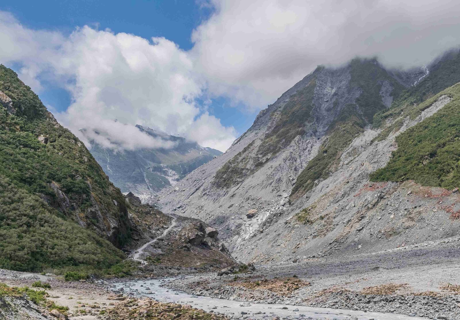
Glacier National Park offers a diverse range of hiking trails, from easy walks to challenging backcountry adventures. This comprehensive hiking list for Glacier National Park includes trail details, difficulty levels, and key features. Whether you’re a novice hiker or an experienced trekker, this guide will help you plan your perfect hiking experience in one of America’s most stunning national parks.
What Are the Best Trails in Glacier National Park?

Glacier National Park boasts an extensive network of trails catering to various skill levels. Here’s a curated list of some of the best hikes:
Easy to Moderate Trails
- Trail of the Cedars
- Location: Lake McDonald
- Distance: 1.0 mile (round trip)
- Elevation Gain: 60 feet
- Difficulty: Easy
-
Features: Forest hike, waterfalls
-
Running Eagle Falls
- Location: Two Medicine
- Distance: 0.6 mile (round trip)
- Elevation Gain: 15 feet
- Difficulty: Easy
-
Features: Waterfalls
-
Avalanche Lake
- Location: Lake McDonald
- Distance: 4.5 miles (round trip)
- Elevation Gain: 730 feet
- Difficulty: Moderate
-
Features: Steep cliff walls, lake, and basin
-
Hidden Lake Overlook
- Location: Logan Pass
- Distance: 2.7 miles (round trip)
- Elevation Gain: 540 feet
- Difficulty: Moderate
- Features: Alpine meadows, wildflowers, and glacial moraine
Moderate to Strenuous Trails
- Iceberg Lake
- Location: Many Glacier
- Distance: 9.7 miles (round trip)
- Elevation Gain: 1,275 feet
- Difficulty: Moderate to Strenuous
-
Features: Cobalt-blue lake, jagged cliffs, wildflowers
-
Ptarmigan Trail
- Location: Many Glacier
- Distance: 10.7 miles (round trip)
- Elevation Gain: 2,300 feet
- Difficulty: Strenuous
-
Features: Ptarmigan Lake, Ptarmigan Tunnel, alpine meadows
-
Grinnell Lake
- Location: Many Glacier
- Distance: 3.0 miles (round trip)
- Elevation Gain: 220 feet
- Difficulty: Moderate
-
Features: Lake views, scenic vistas
-
Grinnell Glacier
- Location: Many Glacier
- Distance: 7.6 miles (round trip)
- Elevation Gain: 1,840 feet
- Difficulty: Strenuous
- Features: Glacier, lakes, cliffs, alpine meadows
Strenuous Trails
- Cracker Lake
- Location: Many Glacier
- Distance: 12.6 miles (round trip)
- Elevation Gain: 1,400 feet
- Difficulty: Strenuous
-
Features: Alpine lake, outstanding views, old growth forests
-
Highline Trail
- Location: Logan Pass
- Distance: 11.8 miles (round trip)
- Elevation Gain: 1,950 feet
- Difficulty: Strenuous
-
Features: High alpine ecosystem, Garden Wall, expansive views
-
Pitamakan – Dawson Loop
- Location: Two Medicine
- Distance: Approximately 17 miles (round trip)
- Elevation Gain: Significant
- Difficulty: Strenuous
- Features: Glacier-carved valleys, lakes, alpine passes
What Are the Key Features and Seasonal Considerations for Popular Hikes?

Understanding the key features and seasonal considerations of popular hikes can help you plan your trip more effectively. Here’s a breakdown of some notable trails:
| Trail Name | Key Features | Seasonal Considerations |
|---|---|---|
| Iceberg Lake | Wildflowers, stubborn snow and ice around the lake | Best in late June or early July for wildflowers; snow and ice may persist until September |
| Ptarmigan Trail | Ptarmigan Lake, Ptarmigan Tunnel, Bighorn sheep and mountain goats | Accessible during summer months; be prepared for steep switchbacks and potential wildlife encounters |
| Avalanche Lake | Steep cliff walls, lake, and basin | Early season access dependent on weather and snow melt; check with National Parks Service for current conditions |
| Grinnell Glacier | Glacier, lakes, cliffs, alpine meadows | Accessible during summer months; be prepared for significant elevation gain and potential wildlife encounters |
Where Can I Find Reliable Hiking Maps for Glacier National Park?
Reliable hiking maps are essential for navigating Glacier National Park’s vast trail system. Here are some recommended resources:
- Day Hikes of Glacier National Park Map Guide
- Available from Jake Bramante’s website and outdoor gear stores
-
Includes distances between junctions, color-coded trail segments denoting slope steepness, and detailed trail descriptions
-
Interactive Maps
- Available on websites such as Hike734 and HikinginGlacier
- Features links to blog posts for each trail, detailed trail descriptions, and maps showing trail features and difficulty levels
What Are the Specific Challenges and Safety Measures for Hiking in Glacier National Park?
Hiking in Glacier National Park comes with its own set of challenges and safety considerations. Here’s what you need to know:
Terrain Types and Weather Conditions
- Varied terrain including dense forests, rocky slopes, alpine meadows, and glacier-carved valleys
- Be prepared for steep switchbacks, creek crossings, and uneven terrain
- Sudden changes in weather, including rain, snow, and high winds are common
- Always check current weather conditions and be prepared with appropriate gear
Wildlife Encounters
- Glacier National Park is home to grizzly bears and black bears
- Be extra bear aware, especially on trails like Cracker Lake, and carry bear spray
- Other wildlife includes Bighorn sheep, mountain goats, and moose
- Keep a safe distance and be aware of your surroundings
Tips for Preparation and Safety
- Plan Ahead
- Check current trail conditions and weather forecasts
-
Inform someone of your hiking plans and estimated return time
-
Gear and Supplies
- Bring appropriate hiking gear, including sturdy shoes, layers of clothing, and sufficient water and snacks
-
Carry bear spray and know how to use it
-
Stay Informed
- Use maps and guides to understand trail features and difficulty levels
- Follow park regulations and guidelines for safety
By following these guidelines and being well-prepared, you can safely enjoy the breathtaking beauty of Glacier National Park’s hiking trails. Remember to always respect the environment and wildlife, and leave no trace of your visit.
References:
1. Day Hiking in Glacier National Park – Hike734
2. Iconic Hikes of Glacier National Park – Glacier Park Collection
3. Glacier National Park Hikes – HikinginGlacier